


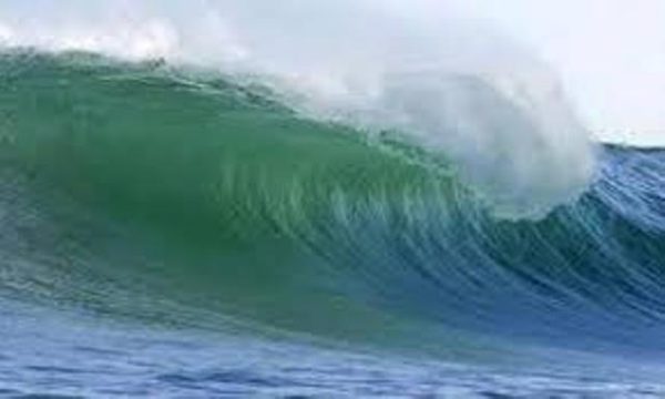
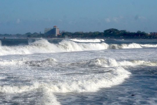
The Bali Office of the Meteorology, Climate, and Geophysics Agency (BMKG) is warning to expect high waves ranging as high a 6-meters washing onto the Island’s southern shores until 12-13 August 2021.

The national head of BMKG, Eko Prasetyo, said on Thursday, 12 August 2021: “Extreme high waves are forecasted to appear in the western Indian Ocean from Bengkulu (Sumatra) until Lampung (South Sumatra) and the southern Indian Ocean from Banten until Bali.
As reported in Balipost.com, the high wave action is being driven in North Indonesia by winds from the southeast to southwest, blowing at a velocity of 5 to 25 knots. Meanwhile, in Indonesia’s southern regions, winds will be from east to southeast at a speed of 5 to 25 knots. The highest wind velocities are forecasted in the waters north of Subang, surrounding Banten, and the southern areas of East Java, the Java Sea, the Banda Sea, and the Arafura Sea.
The current weather conditions will produce waves of 1.25 -1.5 meters washing ashore in the northern portion of the Malacca Straits, the eastern waters of the Mentawi Islands, the seas surrounding Bintan Islands, the Natuna Sea, the Karimata Straits, the waters surrounding Bangka-Belitung, the Gelasa Straits, the waters south of Kalimantan, the central and eastern regions of the Java Sea, the waters north of West Java and East Java, the southern part of the Makassar Straits, the Sulawesi Sea, Teluk Tomini, the northern regions of the Lombok Straits, the Bali Sea – Sumbawa Sea – Flores Sea, the north shores of Flores, the Ombai Straits, the waters surrounding the Selayar Islands – Sabalana Islands, Teluk Bone, the waters surrounding Baubau – the Wakatobi Islands, the waters of Manui – Kendari, Teluk Tolo, the southern shores of the Banggau Islands – Sula Islands, the seas surrounding Buru Island – Ambon Island – Seram Island, the waters surrounding the Sermata Islands – and Babar Islands, the waters surrounding Fakfak – Kaimana, the shores of Agats – Amanapere, the waters surrounding Yos Sudarso, the waters surrounding Sarmi – Jayapura, the Pacific Ocean north of Jayapura.

Wave washing shore measuring 2.5 meters – 4 meters may occur in the waters east of Simeulene Island –the Nias Islands, Nias, the eastern regions of the Java Sea, the Sumba Straits, and the southern part of the Sape Straits, the northern regions of the Sawu Sea, the waters surrounding Kupang – Roti Island, the Banda Sea, the waters surrounding the Tanimbar Islands – the Kei Islands, and the Arafura Sea.
Larger waves measuring 4.0 – 6.0 meters are forecasted to occur in the waters north of Subang, the waters west of Aceh – the Mentawai Islands, the seas surrounding Bengkulu and West Lampung, the western Indian Ocean stretching from Aceh to the Mentawai Islands, the western and southern portions of the Sunda Straits, the waters south of Banten and Sumba Island, the Bali Straits – Lombok – South Alas, the waters surrounding Sawu Island, the southern Sawu Sea, and across the Indian Ocean affecting the southern shores of West Nusa Tenggara (NTB) and East Nusa Tenggara (NTT).
“There is a potential for high waves in these areas that threaten the safety of shipping,” warned Eko. For this reason, the BMKG is recommending the public to be on the alert, especially fishermen operating sailing ships in winds greater than 15 knots in seas higher than 1.25 meters. Barges should take caution before sailing into areas with winds greater than 16 knots with wave heights greater than 1.5 meters. Ferry vessels are advised to be on alert before sailing into seas where wind speeds exceed 21 knots and waves above 2.5 meters. Meanwhile, large ocean-going vessels such as cargo and cruise ships exercise caution before sailing in winds exceeding 27 knots with waves above 4.0 meters.
Eko called on the public living near seashores to practice extreme caution and avoid ocean activities in areas where high waves are a forecasted possibility.